01
Agriculture

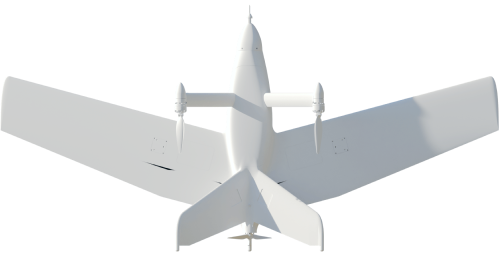
The MENATIR network is the main assistant to agriculture in the air. UAVs make it possible to quickly collect data from areas of thousands of hectares. Unlike satellites, airplanes take clear pictures even in cloudy weather and are ready to fly exactly when needed. MENATIR's high-resolution cameras capture the smallest details.
Thanks to aerial images:
- get a complete picture of your farm infrastructure precisely identify the contour lines across fields and properties
- control the condition and growth of your crops
- count new seedlings, verify seeding rates and identify plant gaps
- quickly and precisely detect emerging issues like pests, diseases, water deficits and more
You only need to define the survey area and the MENATIR software will automatically calculate the flight altitude, the pattern to follow, and when to start the camera. MENATIR will take off, complete its mission and return to the base station automatically.
02
Mining industry

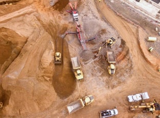
Survey the work area with the MENATIR system. Measure the volume of pits, excavations and stockpiles in a fast, accurate and economical way. Precision aerial volumetric measurement can accurately estimate the amount of material added to or removed from a site over a day, a week, a month or a quarter, to assist in auditing contractor invoices for delivery, removal, transport and re-use of materials. Check the operation of machinery and people — monitor work progress and observance of safety measures. With the help of images and videos from MENATIR drones, it is possible to predict the probability of accidents, landslides, flooding, or other emergencies.
03
Industrial parks

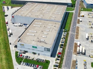
Conduct a detailed land survey from the air. MENATIR UAVs help to conduct scheduled inspections of equipment and infrastructure to minimize the possibility of accidents and production stoppages.
Check the integrity and condition of electrical networks, thermal characteristics of buildings, and air quality in industrial zones. Using the MENATIR system simplifies access to hard-to-reach and dangerous production areas and significantly speeds up their inspection.
04
Infrastructure facilities

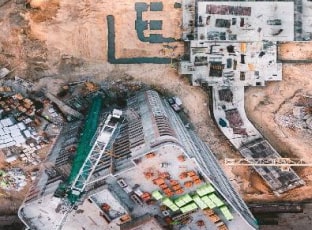
Follow the construction process and monitor the maintenance of facilities. Surveillance of construction sites with a MENATIR drones helps identify possible problems and errors at each stage of construction and fix them, saving you from unnecessary expenses.
Use of the UAV Menatir network reduces the facility inspection time tenfold and minimizes the human-factor risks. Detailed drone inspections accelerate the construction progress monitoring of long length infrastructure objects, such as roads, power lines, and pipelines.
