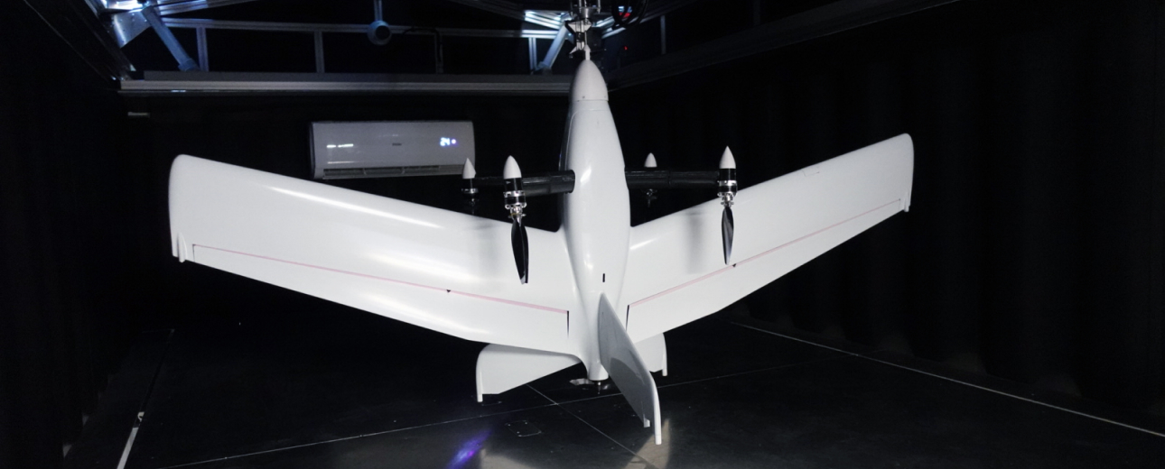
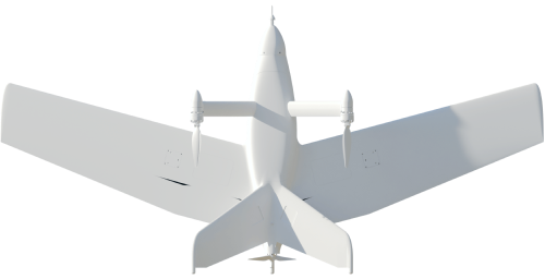
The MENATIR Automated Aerial Monitoring UAV Network is Culver Aviation's innovative development
Unlike most unmanned aircraft, MENATIR UAVs are fully autonomous due to vertical take-off and landing at a given point.

Thanks to accurate positioning using RTK technology, and high-resolution cameras, Menatir network drones can be used for:
- aerial photogrammetry
- real-time surveillance
- thermal imaging
- land surveying
- mapping large areas
Types of payloads
You can build your individual set of UAV payloads depending on the mission types to be performed by the system.
Gyro-stabilized gimbal with daytime camera
Designed for real-time video monitoring with the ability to automatically detect objects using artificial intelligence.
- High-precision three-axis gyro-stabilized mount
- Full HD video streaming with a delay of up to 350ms
- Video transmission range up to 45 km
- AES-128 video stream encryption option
- MESH network creation option
- Automatic determination of coordinates and tracking of objects
Gyro-stabilized gimbal with daytime and thermal imaging camera
Designed for real-time video monitoring in inclement weather conditions with the ability to automatically detect objects using artificial intelligence.
- High-precision three-axis gyro-stabilized mount
- Full HD video streaming with a delay of up to 350ms
- 640x480, 30Hz thermal imaging camera
- Video transmission range up to 45 km
- AES-128 video stream encryption option
- MESH network creation option
- Automatic determination of coordinates and tracking of objects
- Detection of a person from an altitude of 500 Meters
Digital high-resolution camera
Designed for mapping, orthophoto planning, and creating digital models of terrain and infrastructure.
- RTK/PPK GNSS L1/L2/L5 20Hz module
- Three-axis gyro-stabilized in-house developed mount
- 61-megapixel camera resolution
- Ground sample distance up to 1 cm/px depending on the altitude
Multispectral camera
Designed for monitoring agricultural areas, green zones, and water basins.
- Five-band multispectral camera with panchromatic shooting mode
- Ground sample distance up to 4 cm/px depending on the altitude
- Light sensor for image correction
Libelium Ecosensor
Designed for air quality monitoring.
- Pollutants: CO, CO2, O3, NO, NO2, SO2, NH3, CH4, H2S, PM1, PM2.5, PM10
- Connection of the dust sensor and up to 3 gaseous substances sensors for simultaneous pollutant measurement
- Temperature, humidity, and atmospheric pressure measurement by an external combined sensor
- Supports connection of an external GPS module
Custom Payload
Designed to meet any customer needs.
- The UAV Menatir can carry any equipment with dimensions up to 8,7x4,7x3 inches (220x120x75 mm), and weight up to 2,2 lbs (1 kg)
